
Challenge
The integration of highly dynamic marine data into high-performance maritime data services remains a challenge.
For powerful support of mariners during navigation in general, these maritime data need to be combined with environmental data like sea floor properties and ice conditions. Additionally, further relevant parameters for scientific and fishery operations at sea such as plankton blooms, sea surface temperature, as well as sea state properties data can be phased in.
Capabilities Demonstrated
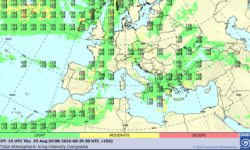
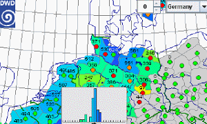
- provide weather forecast data as 4D x/y/z/t datacubes, in analysis and visualization ready form
- make these data and services available through the Cube4EnvSec federation
- updated these datacubes at the frequency new data arrive
- enable ad-hoc products derivation and analytics without programming
- make maritime products available on any end device and through manifold clients, based on open standards
Especially for navigation planning and monitoring of scientific systems, new capabilities can be demonstrated using this combination of datacubes.